Run orienteering
in a real forest in 3D.
Compass, map, controls and AI rivals on terrain rebuilt from authentic orienteering maps. Train your technique, analyse your route and race against the clock.
Free for Windows & Mac · Made by orienteers · 13 real maps included
Coming soon on Steam
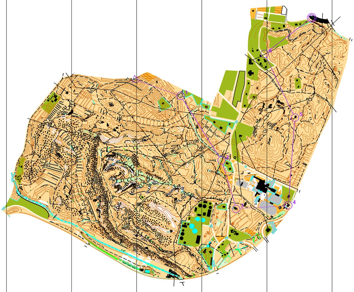
Map separations: each ink is a plate. Switch them on and off.
Real simulator screenshots
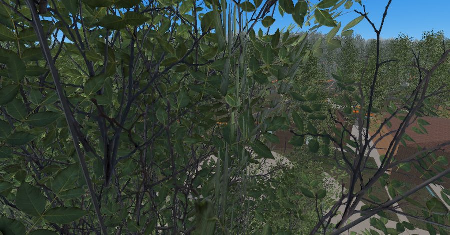
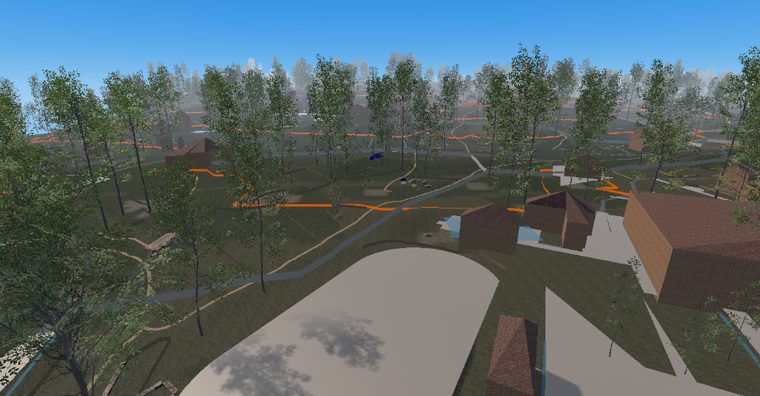
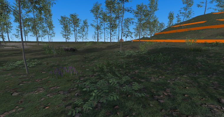
Everything an orienteer wants to train
Not a running game: a simulator built with technical rigour, map by map.
- Real orienteering
- Compass, map with zoom and pan, IOF control descriptions (2024) and control punching. The real technique, not an arcade.
- Real 3D forests
- Terrain rebuilt from real orienteering maps (.omap/.ocd) and elevation models, with vegetation, water and paths faithful to ISOM.
- AI rivals
- AI-controlled runners that pick routes and can beat you. Countdown start, timer and final standings.
- Stamina and effort
- An energy system with sprinting, exhaustion and recovery. The fatigue vignette pulses harder the closer to your limit you run.
- Dynamic weather and time
- Clear, cloudy, fog or rain; dawn, midday or dusk; day/night cycle with a headlamp. Fog genuinely raises the difficulty.
- Game modes
- Memory mode (run blind between controls), a deterministic daily challenge and free races on any map and course.
- Race analysis
- Animated 2D replay with play/pause and x1–x8 speed, a calculated optimal route (A*) and route comparison. Your training niche.
- Progression and retention
- Achievements and medals, a 3D ghost of your best run, a shop (shoes/training/stats) and a daily challenge to keep coming back.
- Course editor
- Design your own courses by hand, Purple Pen style, with professional IOF course-setting rules and automatic purple overprint.
From a real map to a 3D forest
The magic happens before you play: we rebuild the terrain with real data so what you step on matches the map.
Real map
We start from a real orienteering map (.omap/.ocd) or a scanned image of a club's map.
3D terrain
A Python pipeline rebuilds the relief (contour lines or a real elevation model) and classifies vegetation, water and paths.
Go run
Unity loads the forest, places controls and rivals, and you navigate in first person with compass and map.
13 real maps, and counting
Terrains digitised from authentic orienteering maps across several countries, many with their real elevation model (not made up): every hill and every gully is where it should be.
Got your club's map? The goal is to let you bring your own.
- 01Pina de Montalgrao
- 02Orgergia
- 03Guardamar
- 04Jelling
- 05Kekomäki
- 06Ravneholm
- 07Tahkovaara
- 08Barrañán
- and more…
A look inside
Real screenshots from the simulator: forests rebuilt from authentic orienteering maps.
The whole site, at a glance
Every page on training.clubosantjoan.com: the simulator, your training and the club portal.
The simulator
- HomeThe OrienteeringSim front page.
- FeaturesCompass, AI rivals, dynamic weather and route analysis.
- MapsThe real terrains, rebuilt, that you can run.
- DownloadsFree installers for Windows and Mac.
- RankingsCommunity leaderboards, course by course.
- Steam and full versionWhat is free today and what is coming to Steam.
- AccountSign up or log in to keep your results.
Grab the compass. It's free.
Download OrienteeringSim for Windows or Mac and run your first race in minutes.